Click here for more photos of the 2000 run to Chain of Rocks Bridge
 |
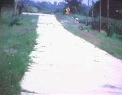
Central, Illinois.
Some portions of the original Route 66 remain gravel roads. These are not meant for current travel and exist just off of the marked Historic 66 Routes.
|
 |
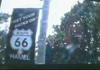
Hamel, Illinois.
The sign says it all.
|
 |
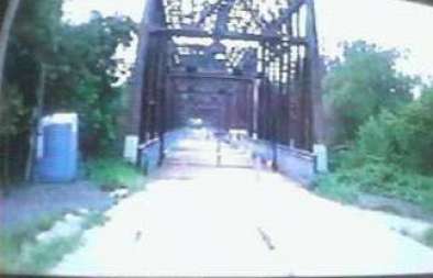
Chain Of Rocks Region, Mississippi River, Illinois.
The Illinois entrance to the original U.S. Route 66 Mississippi River bridge. The most unique aspect of this 1 mile bridge is the 45 degree sharp turn about 3/4th of the way across heading west. This turn is so sharp, that today's cars could not make the turn with on-coming traffic existing. The bridge is no longer stable or feasible for automobile use, being rather old and very narrow. However, it has been reconditioned and turned into a highly traveled pedestrian/bike trail.
|
 |
Mississippi River, Illinois/Missouri Border.
A view of Interstate 270, the bridge automobiles use to cross the river. The original interstate replacement bridge, Interstate 55/64/70, is actually much further south of the Route 66 bridge, and enters the heart of Saint Louis. Years later the I-270 was constructed to alleviate Saint Louis traffic.
|
 |
Mississippi River, Illinois/Missouri Border.
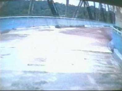
The infamous 45 degree angle of the Route 66 Chain Of Rocks Bridge. Notice the sharpness of the turn, the narrowness of the bridge, and the curbs on the pavement. This was a tricky curve even back in days of Route 66. This is actually and angle, as opposed to a curve.
|
 |
Mississippi River, Illinois/Missouri Border.
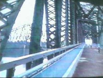
The original steel beam structure of the Route 66 Chain Of Rocks Bridge.
Click here for more photos of the 2000 run to Chain of Rocks Bridge |
